
The Biggest Earthquakes Ever Recorded and Their Global Impact
When a magnitude 8.8 earthquake struck off Russia’s Kamchatka Peninsula in July 2025, tsunami alarms rippled across the Pacific and millions of people were told to move inland or uphill. It was one of the six strongest earthquakes ever measured, and a reminder that Earth’s crust still holds unimaginable amounts of pent-up energy.
The very largest earthquakes – so-called “megathrust” events of magnitude 9 and above – are rare. But when they do occur, they can redraw coastlines in minutes, trigger ocean-spanning tsunamis, and cause economic losses that run into the hundreds of billions of dollars.
This article looks at the biggest earthquakes ever recorded, how scientists measure their power, and what these events have done to societies and economies. It also explores why some smaller quakes have been far deadlier than the giants, and what the past tells us about the risks still ahead.
Key Points
The largest earthquake ever instrumentally recorded was the 1960 Valdivia (Great Chilean) earthquake, with a magnitude of about 9.5.
Almost all of the biggest earthquakes occur on subduction zones around the Pacific “Ring of Fire,” where one tectonic plate dives beneath another.
Magnitude is logarithmic: a magnitude 9 quake releases roughly 32 times more energy than a magnitude 8, and around 1,000 times more than a magnitude 7.
The deadliest quakes are not always the biggest: events such as the 1976 Tangshan and 2010 Haiti earthquakes were smaller in magnitude but killed hundreds of thousands because they struck vulnerable, densely populated areas.
The 2004 Indian Ocean and 2011 Tohoku earthquakes showed how earthquake-generated tsunamis can devastate regions thousands of kilometers from the epicenter and disrupt global supply chains.
Economic losses from major earthquakes over the last few decades are approaching a trillion dollars, with the 2011 Tohoku disaster alone costing well over $200 billion.
New research and government scenarios suggest that future megaquakes, such as a potential Nankai Trough event in Japan, could cause damage on the scale of a significant fraction of a nation’s annual GDP.
Background
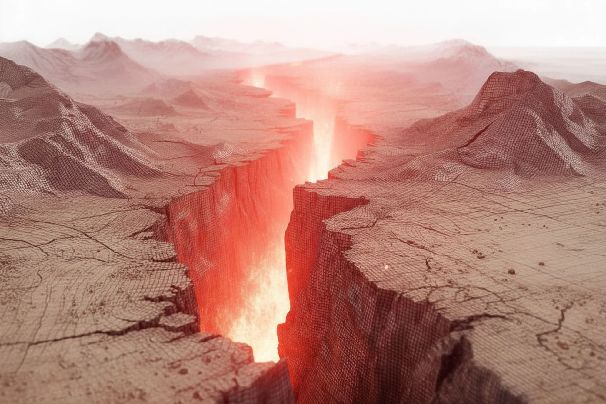
Earthquakes happen when rocks in Earth’s crust suddenly slip along faults, releasing stored elastic energy as seismic waves. Most large earthquakes occur at plate boundaries, where rigid tectonic plates collide, slide past, or pull away from each other.
The biggest earthquakes on record are almost all megathrust events on subduction zones. Here, a dense oceanic plate dives underneath a lighter continental or oceanic plate. For decades or centuries the plates can lock together, bending and storing strain. When they finally rupture, the fault can slip by tens of meters over hundreds or even thousands of kilometers of length.
Earthquake size is now described mainly using the moment magnitude scale, Mw. Unlike the older Richter scale, moment magnitude is based on the physical properties of the fault: how far it slipped, how large the rupture area was, and the strength of the rocks involved. The scale is logarithmic: each step of one unit represents about 32 times more energy release. A magnitude 9.0 earthquake therefore releases roughly a thousand times the energy of a magnitude 7.0.
Magnitude, however, is not the same as impact. A deep offshore magnitude 8.8 beneath a sparsely populated coastline can kill very few people, while a much smaller quake beneath a crowded city of weak buildings can be catastrophic. The 1976 Tangshan earthquake in China, with a magnitude around 7.6, may have killed 300,000 people or more. The 2010 earthquake in Haiti, at magnitude 7.0, likely killed over 200,000 and displaced more than a million, largely because it struck near the capital where buildings were fragile and emergency systems weak.
Analysis
Scientific and Technical Foundations
The largest earthquakes are almost all megathrust quakes on subduction zones around the Pacific: the Chilean margin, Alaska–Aleutians, Japan, Kamchatka–Kuril, and the Sunda trench off Indonesia. In these settings, the converging plates move past each other at a few centimeters per year, but the interface can stay locked for centuries.
As strain builds, the upper plate flexes like a bent ruler. When friction can no longer hold it, the plate rebounds, and the fault slips suddenly. The 1960 Chilean earthquake, for example, ruptured a zone more than 1,000 kilometers long, with parts of the seafloor moving by up to 20 meters.
Such quakes are especially dangerous when they shove the seafloor vertically, pushing up or down large volumes of water and generating tsunamis. These waves travel across ocean basins at jet-airliner speeds and can still be tens of meters high when they reach distant coasts. The energy involved is enormous; a single magnitude 9 event can release more energy than all nuclear tests ever carried out.
The Biggest Earthquakes Ever Recorded
Since reliable instrumental records began in the early 20th century, seismologists have documented a handful of truly giant earthquakes. The ten largest known events all have magnitudes above about 8.5, with four reaching 9.0 or higher.
1960 Valdivia, Chile – Magnitude ~9.5
The Great Chilean or Valdivia earthquake on 22 May 1960 remains the largest earthquake ever recorded, with a moment magnitude estimated between 9.4 and 9.6. It shook southern Chile for roughly 10 minutes. In Chile alone, about 1,655 people were killed, around 3,000 injured, and roughly 2 million left homeless; economic losses were put at about $550 million at the time, a huge sum for the country.
The tsunami generated by the quake raced across the Pacific, killing people in Hawaii, Japan, and the Philippines and damaging coastal communities as far away as New Zealand. This event drove major advances in Pacific tsunami observation and warning, and it remains a benchmark for worst-case scenario planning in the region.
1964 Prince William Sound, Alaska – Magnitude 9.2
On 27 March 1964, a magnitude 9.2 megathrust earthquake struck south-central Alaska. Ground shaking lasted four to five minutes and triggered massive landslides, ground fissures, and subsidence. Official tallies list 139 deaths, many of them caused by tsunamis in coastal towns in Alaska and along the US and Canadian west coasts.
Despite its enormous size, the human toll was limited compared with later disasters because Alaska’s population was sparse. The event nonetheless caused heavy damage to ports, roads, and pipelines and reshaped parts of the coastline by several meters. It also led directly to the creation of modern earthquake research and monitoring programs in the United States.
2004 Sumatra–Andaman, Indian Ocean – Magnitude 9.1–9.3
On 26 December 2004, a megathrust earthquake off the west coast of northern Sumatra ruptured a subduction zone segment roughly 1,300 kilometers long. With a magnitude between 9.1 and 9.3, it is the third-largest instrumentally recorded earthquake.
The tsunami that followed was one of the deadliest natural disasters in modern history. Waves up to 30 meters high struck coasts around the Indian Ocean, killing an estimated 227,000 people or more across at least a dozen countries, including Indonesia, Sri Lanka, India, Thailand, and others. Millions were displaced, and entire communities were swept away.
At the time, there was no basin-wide tsunami warning system for the Indian Ocean. The disaster prompted the rapid creation of new regional alert networks, improvements in coastal evacuation planning, and a re-examination of tsunami risk worldwide.
2011 Tohoku, Japan – Magnitude 9.0–9.1
On 11 March 2011, a magnitude 9-class earthquake struck off the northeastern coast of Honshu, Japan. The shaking itself damaged buildings and infrastructure, but the real devastation came from the tsunami, which reached heights of up to 40 meters along parts of the Tohoku coastline.
More than 15,000 people were confirmed dead, with thousands more injured or missing. The waves flooded the Fukushima Daiichi nuclear power plant, leading to core meltdowns, radiation releases, and a long-running cleanup effort. Economic costs were estimated at over $200 billion and in some analyses closer to $300–360 billion, making it the most expensive natural disaster on record.
The disaster tested even Japan’s advanced seawalls, building codes, and emergency systems, showing both how much risk can be reduced and how difficult it is to prepare for truly extreme events.
1952 Severo-Kurilsk, Kamchatka – Magnitude 8.8–9.0
In November 1952, a very large megathrust earthquake struck off Russia’s Kamchatka Peninsula. Estimates of its magnitude range from 8.8 to 9.0, placing it among the top five or six largest events ever recorded. It generated a tsunami that devastated the town of Severo-Kurilsk and other coastal settlements, with casualty estimates ranging from just over 2,000 to well over 10,000 people, reflecting deep uncertainties in historical records.
The tsunami also crossed the Pacific, damaging harbors in Hawaii and being registered on tide gauges in North and South America.
2010 Maule, Chile – Magnitude 8.8
On 27 February 2010, an 8.8 magnitude earthquake struck off central Chile. The shaking lasted several minutes and triggered a tsunami that battered coastal towns. Official counts report 525 deaths and around 800,000 people displaced; economic losses are commonly estimated at about $30 billion.
Although the toll was severe, it was far lower than might be expected for a quake of this size, in part because Chile has some of the world’s strictest seismic building codes and a society accustomed to regular earthquakes and drills.
2025 Kamchatka, Russia – Magnitude 8.8
The July 2025 Kamchatka earthquake, with a magnitude of 8.8, is tied with the 2010 Chile and 1906 Ecuador–Colombia earthquakes as the sixth-strongest event ever recorded. It shook the region for more than four minutes and triggered tsunami warnings and evacuations around the Pacific, with waves of several meters reported in parts of Russia, Japan, Hawaii, and North America.
Thanks to the relatively sparse population near the epicenter and widespread use of modern alert systems, the direct human toll appears to have been limited to one indirect death and a few dozen injuries, though damage assessments are still evolving.
Other giants, such as the 1906 Ecuador–Colombia megathrust (magnitude ~8.8), the 1965 Rat Islands 8.7 in the Aleutians, and the 1950 Assam–Tibet 8.6 event, round out the list of largest shocks, each leaving deep marks on regional histories and prompting fresh scientific investigations into subduction-zone behavior.
Data, Evidence, and Uncertainty
For earthquakes in the instrumental era, magnitudes are constrained by global seismograph networks and can often be refined decades later as new techniques emerge. Even so, estimates for some older events, such as the 1960 Chile or 1952 Kamchatka quakes, span a range (for example, 9.4–9.6 or 8.8–9.0) rather than a single value.
Human impacts are even harder to pin down. Death tolls after disasters are influenced by the quality of reporting, political incentives, and whether missing people are later counted as dead. The 2004 Indian Ocean tsunami, the 1976 Tangshan earthquake, and the 2010 Haiti quake all have official tolls in the hundreds of thousands, but independent studies often offer lower or higher ranges.
For policymakers and scientists, this uncertainty matters less than the broader pattern: relatively modest-magnitude events can be among the deadliest when they strike vulnerable communities, while much larger quakes offshore may cause few casualties if early warning, evacuation routes, and robust infrastructure are in place.
Industry and Economic Impact
Modern megaquakes are not only humanitarian crises; they are also macro-economic shocks.
The 2011 Tohoku earthquake and tsunami is estimated to have cost around $235 billion in direct economic losses and, in some assessments, more than $300 billion when indirect effects are included, making it the costliest natural disaster in history. Industrial production fell, power supply was disrupted, and global supply chains – from automotive parts to electronics – were thrown into chaos.
Analyses combining major events such as Tohoku, the 2010 Chile quake, and others suggest that economic damage from the world’s biggest earthquakes over recent decades is approaching $1 trillion.
Governments are increasingly using scenario modeling to estimate the impact of future megaquakes. A worst-case magnitude 9 event on the Nankai Trough, for example, has been projected to cause losses approaching a significant fraction of Japan’s annual GDP and hundreds of thousands of potential deaths if it struck without further improvements in preparedness.
These figures highlight why insurers, central banks, and infrastructure planners treat seismic risk as a systemic economic issue, not just a local hazard.
Ethical, Social, and Regulatory Questions
Large earthquakes expose deep inequalities. Wealthier countries with strict seismic building codes and strong governance can sustain very large magnitude events with relatively low loss of life, as recent Chilean and Japanese experience shows. Poorer countries, or regions with weak regulation and informal housing, often see catastrophic casualties even from mid-magnitude quakes.
There are also questions about where to build critical infrastructure. The Tohoku disaster forced a re-thinking of nuclear plant siting and flood defenses, while many coastal cities in seismically active regions are now revising zoning rules for ports, refineries, and data centers.
At the same time, early-warning systems, smartphone alerts, and community drills raise ethical issues about risk communication. False alarms can erode trust, but delayed or unclear messaging can cost lives. The goal is to design systems that are fast, reliable, and inclusive, reaching people with disabilities, tourists, and those without constant internet access.
Geopolitical and Security Implications
Megathrust earthquakes and tsunamis can affect national security by damaging naval bases, ports, airfields, and energy infrastructure. The 2011 Tohoku event temporarily reduced Japan’s electricity generating capacity and disrupted industrial exports, with knock-on effects in other countries that depended on its components.
Future megaquakes on major subduction zones – from the Nankai Trough to the Cascadia margin off North America – are central to national risk assessments. Governments are investing in cross-border tsunami warning systems, shared satellite monitoring, and coordinated emergency response exercises, partly to ensure that a large regional disaster does not cascade into wider political or economic instability.
Why This Matters
For people living near plate boundaries – which includes major population centers in Japan, Chile, Indonesia, Turkey, Mexico, and the US West Coast – the largest earthquakes define the upper bound of local risk. These events may only happen every few hundred years on a given fault, but they are the ones that can erase decades of development in a single day.
In the short term, understanding the biggest recorded earthquakes helps emergency planners size their worst-case scenarios: how high protective seawalls need to be, how strong high-rise buildings and bridges must become, and where to place hospitals, data centers, and fuel storage.
In the longer term, megaquakes shape where and how cities grow. Some coastal communities have relocated entire districts to higher ground after being devastated by tsunamis. Insurance premiums, bond ratings, and international lending terms all increasingly factor in seismic and tsunami risk.
At a global scale, the largest earthquakes influence how the world thinks about compound risk: how a natural hazard can trigger technological accidents, financial losses, and migration, all at once.
Real-World Impact
In practice, the lessons of the biggest earthquakes show up in everyday decisions and policies:
In Japan, coastal towns affected by the 2011 tsunami have redesigned evacuation routes, installed taller sea walls in critical locations, and shifted housing and schools to higher ground. New seawall designs consider the unlikely but possible recurrence of magnitude 9-class events.
Around the Indian Ocean, countries that were caught completely off guard in 2004 now participate in a regional tsunami warning system with seafloor pressure sensors, ocean buoys, and coastal sirens. Schools regularly hold drills, and simple posters in hotels and airports show visitors where to go if the sea suddenly recedes.
In Chile and other seismically active nations, frequent drills and strict engineering standards for high-rise buildings, bridges, and lifeline infrastructure have significantly reduced casualties in recent large earthquakes. The 2010 Chile event and the 2025 Kamchatka quake both demonstrated how engineering and warnings can keep death tolls in the hundreds or lower, even when magnitudes approach 9.
These examples underscore a key point: humans cannot stop tectonic plates from moving, but they can choose how exposed and how prepared they are when the largest earthquakes strike.
What Could Be Next?
The record of the biggest earthquakes ever measured tells a story of rare but colossal events that reshape landscapes, economies, and policies. From the 1960 Chilean megathrust to the 2011 Tohoku disaster and the 2025 Kamchatka quake, the same forces are at work: plates lock, strain builds silently over decades, and then a few minutes of violent shaking alter history.
What happens next depends heavily on human choices. If early-warning systems, robust infrastructure, and clear evacuation plans are in place, even an 8.8 or 9.0 event can be survived with comparatively limited loss of life. If they are not, smaller quakes can still be national tragedies.
In the coming decades, scientists will refine forecasts of which plate boundaries are closest to failure, while governments and communities decide how seriously to take the lessons from past giants. The signal to watch is not just when the next megaquake happens, but whether societies are ready for it when it does.