Super Typhoon Bavi Slams Rota Near Guam As 165mph Monster Leaves The Marianas Facing A Second Disaster
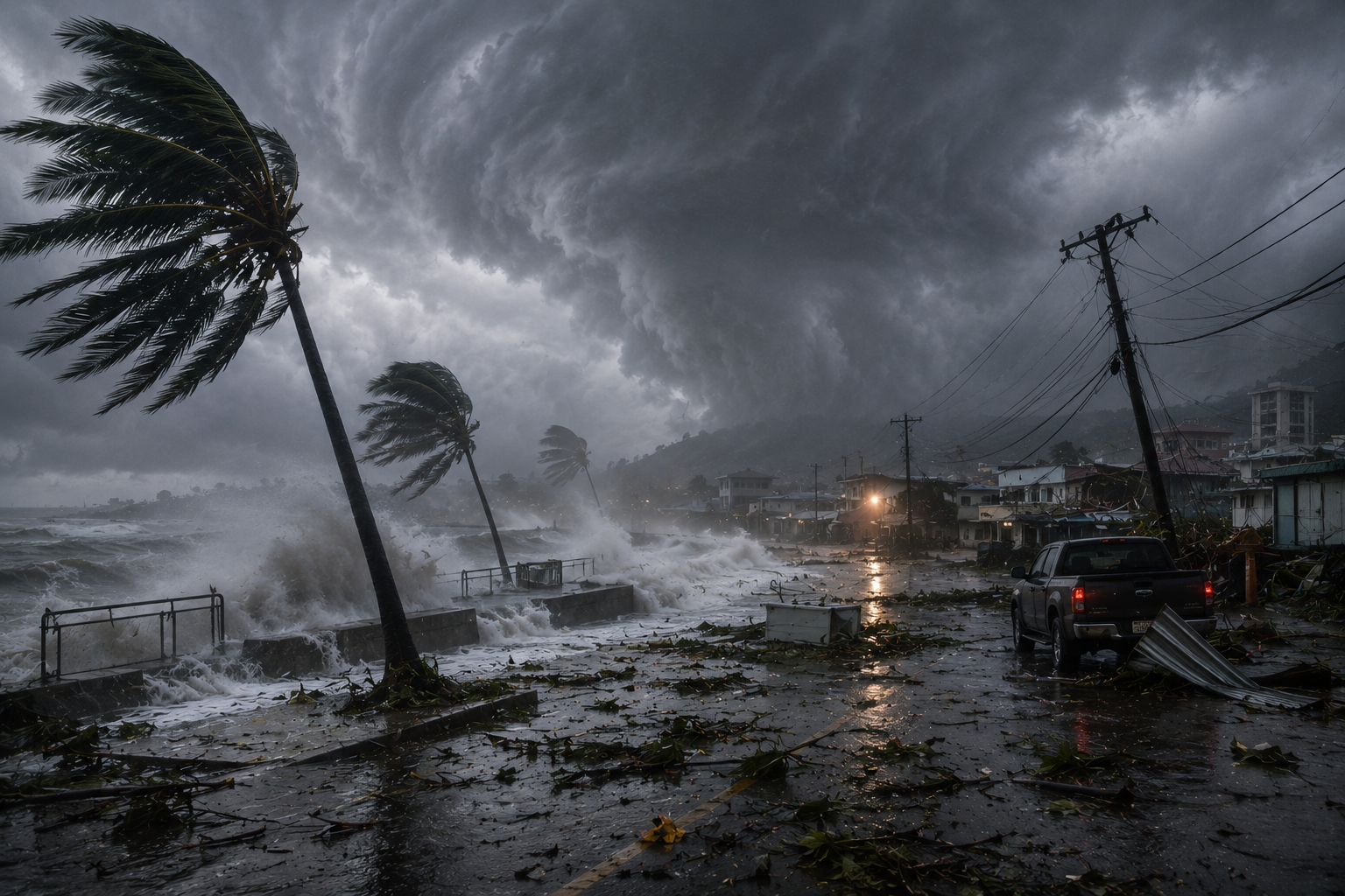
Super Typhoon Bavi Makes Landfall Near Guam With Catastrophic Winds
Why Super Typhoon Bavi Became So Dangerous So Fast
Super Typhoon Bavi has made landfall near Guam, with the storm’s eye passing over Rota on Monday morning local time and bringing winds above the 150mph threshold used to define a super typhoon. The immediate story is not just wind speed. It is that Guam, Rota, Tinian and Saipan are now facing the dangerous second phase of a major tropical cyclone: flooding, coastal inundation, power disruption, debris, blocked roads and delayed damage assessment.
The National Weather Service in Tiyan said Bavi was moving west-northwest away from the Marianas by Monday evening, but still had maximum sustained winds of 165mph at 7pm ChST and remained a major threat even after the worst core winds had passed. Its local statement kept typhoon warnings in effect for Guam, Rota, Tinian and Saipan, alongside coastal flood warnings, high surf warnings and a flood watch across the affected islands.
What Has Been Confirmed
The confirmed landfall point was Rota, the southernmost island of the Northern Mariana Islands, not Guam itself. The eye passed over Rota on Monday morning local time, while Guam and the wider Marianas were hit by severe wind, rain, surf and flooding hazards from the wider circulation. Reports based on National Weather Service information said the storm brought winds of more than 150mph as it crossed the area, with earlier warnings describing the risk of catastrophically destructive conditions near the eyewall.
By Monday evening, official warnings showed Bavi had moved to about 150 miles northwest of Guam and was tracking west-northwest at 13mph. That matters because the storm was pulling away, but not safely gone. Tropical storm conditions were still expected across the Marianas overnight, and residents were told not to go outside to inspect damage until high winds fully subsided.
The confirmed hazards now extend beyond the headline wind number. The National Weather Service warned of dangerous surf, coastal flooding, saturated ground and further rainfall from trailing rain bands. Observations across the Marianas indicated that 8 to 15 inches of rain had already fallen, with additional rainfall expected through Tuesday and flash flooding still possible through Tuesday night.
Why Bavi Became So Dangerous
Bavi became dangerous because it reached the Marianas as a compact, extremely powerful western Pacific tropical cyclone, where the greatest damage is concentrated near the eye and eyewall. A super typhoon is not just a stronger storm in language; it means maximum sustained winds of at least 150mph, placing it in the same broad destructive range as the strongest Category 4 and Category 5 hurricanes.
The storm’s intensity was driven by the basic fuel system of major tropical cyclones: warm ocean water, deep thunderstorm development, organised rotation and favourable upper-level conditions that allowed the storm to strengthen rather than be torn apart. Rapid intensification is especially dangerous for island chains because preparation windows shrink, forecast shifts become more consequential, and a small change in track can move the worst eyewall conditions from offshore to directly over a populated island.
That is the key point with Bavi. Guam was close enough to face dangerous winds, surf, flooding and emergency disruption, while Rota appears to have taken the most direct eyewall impact. In small island geography, “near Guam” can still mean a severe territorial emergency because the same storm system can affect multiple islands, ports, airports, military sites and coastal settlements at once.
Damage And Immediate Risks
The full damage picture is not yet confirmed, because official assessments usually lag behind the storm itself. What is confirmed is that the hazards were capable of producing structural damage, downed lines, flying debris, road closures, coastal flooding and dangerous marine conditions. The National Weather Service warned that metal-roof homes could suffer minor to moderate damage, poorly constructed homes could see partial roof removal, loose outdoor items could become airborne, and scattered power outages were possible as Bavi moved away.
Coastal damage may become one of the most important follow-up stories. The National Weather Service kept a coastal flood warning in effect until Wednesday afternoon local time and a high surf warning until Thursday afternoon for Guam, Rota, Tinian and Saipan. It warned of breaking waves up to 25 feet, coastal inundation of 6 to 8 feet, significant shoreline erosion and possible road closures in low-lying areas.
Flooding is the other major concern. Once a storm of this strength saturates an island, additional rain can become more dangerous than the first burst because water has nowhere to drain. Official guidance warned that creeks and streams may rise out of their banks, while low-lying and flood-prone locations could still flood even after the core winds eased.
Why This Matters Beyond The Storm Track
Bavi matters because Guam and the Northern Mariana Islands are not remote in strategic terms. They sit in the western Pacific, between Hawaii and Asia, and host major U.S. defence infrastructure, including Andersen Air Force Base, Naval Base Guam and Marine Corps Base Camp Blaz. A severe typhoon in this region is therefore both a local disaster story and a resilience test for American military logistics in the Pacific.
The wider implication is that small islands face a brutal recovery equation. Even when concrete buildings reduce casualties, power grids, roads, ports, hospitals, fuel supplies, coastal infrastructure and communications remain vulnerable. A storm can pass in hours, but recovery can be measured in weeks, especially if high surf delays marine access or flooding blocks local movement.
There is also a compounding-risk problem. The region was already dealing with prior storm disruption, and some communities had not fully recovered from earlier cyclone impacts. That makes Bavi more serious because emergency systems may be dealing with fresh damage on top of unfinished repair work, stressed households and weakened infrastructure.
What Could Come Next
The next phase is damage assessment, rescue access, power restoration, flood response and coastal inspection. Authorities will need to confirm whether roads are passable, whether shelters remain supplied, whether hospitals and emergency services can operate normally, and whether communications are stable enough for recovery coordination. The most urgent warnings now concern people staying out of floodwater, avoiding damaged power lines and not entering the surf while dangerous waves continue.
Bavi’s track also matters after the Marianas. The storm was moving west-northwest away from Guam and the Northern Marianas, which means forecasters will watch whether it weakens over open water, changes course, or creates later risks for other western Pacific areas. For Guam, Rota, Tinian and Saipan, however, the headline has already changed: the landfall moment may be over, but the danger is not.
The strongest conclusion is cautious but stark. Bavi has confirmed itself as a major Pacific typhoon strike near Guam, with Rota taking the eye, the wider Marianas facing serious flooding and coastal hazards, and the region now entering the slower, more revealing phase of the disaster. The real scale of this storm will be measured not only by its 165mph winds, but by how much infrastructure, housing and public services still work when the skies clear.
